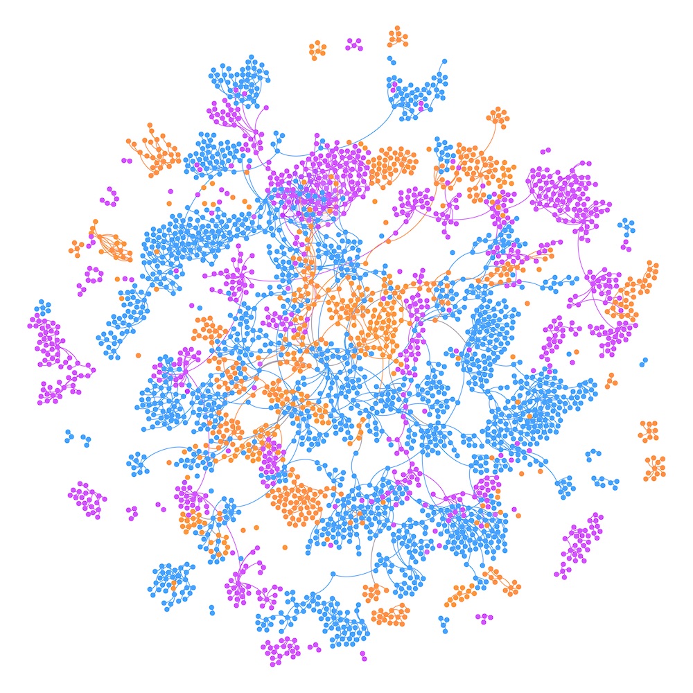
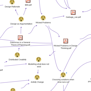
The Expansive Design thesis relies on a historical analysis method supported by an IBIS with graphical maps (Compendium). The graphical maps used for data collection and analysis are available online. Some parts of the maps are not included to preserve the identity of the participants and the organizations involved.
Alternatively, you can download the research data [ZIP] and import it into CompendiunNG. The video files, audio files, and pictures collected are not publicly available. These can be obtained by contacting the researcher directly and explaining the purpose of the request.
The graphical maps entail:
- 815 actual-empirical nodes (purple)
- 738 object-historical nodes (yellow)
- 1546 theory-historical nodes (blue)